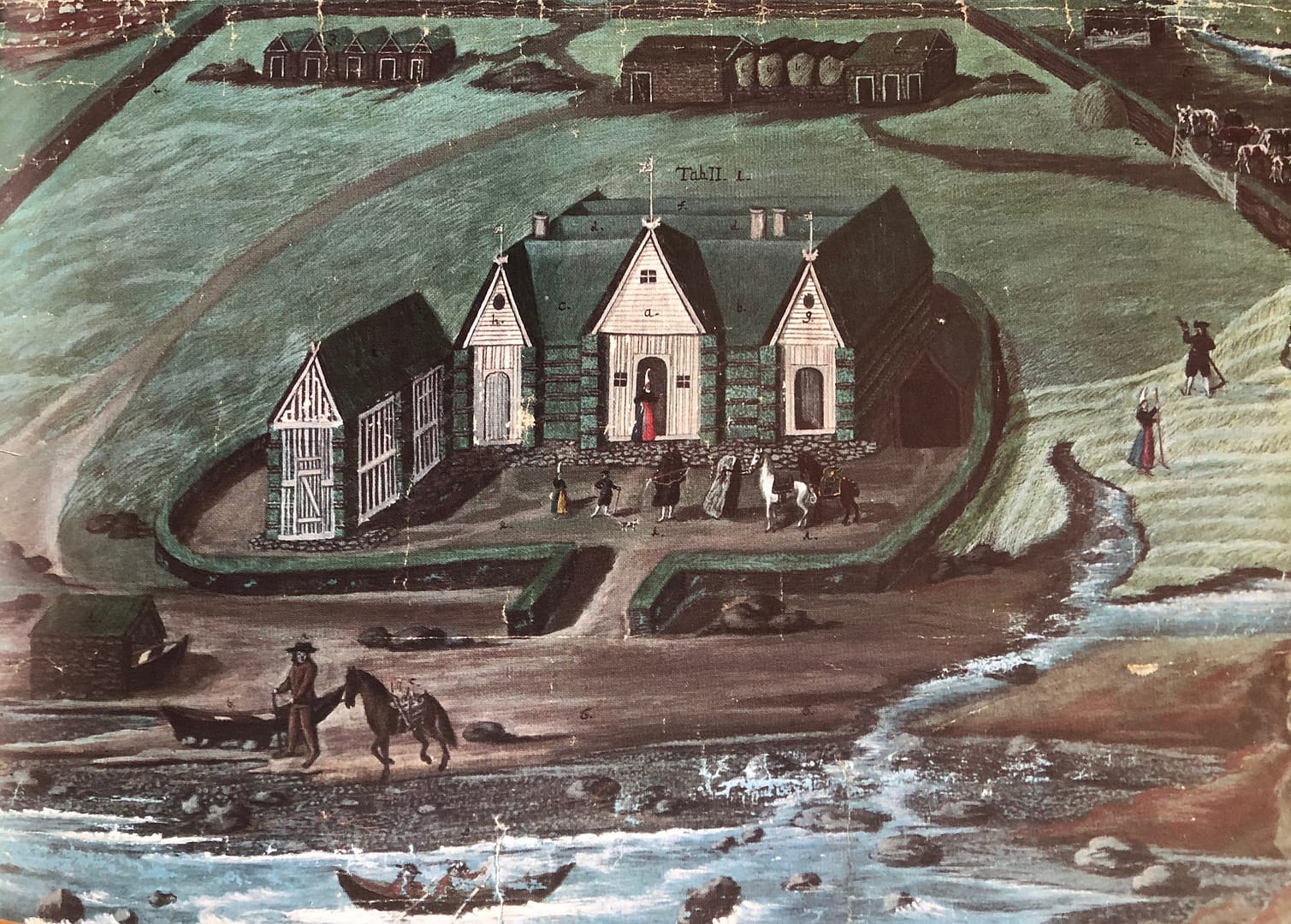
Knowledge of families, households and farms are a key to our understanding of past and present societies whether we are examining demographic change, economy, or social relationships. Until the advent of industrialism around the turn of the 20th century, the central social and economic unit of rural society was the peasant-family farm household where one or more families eked out a living. Farming was not only a means of living but also a way of life, embedded in institutions that structured social relations.
Hitherto, the Icelandic literature on early modern agrarian economy has mainly focused on landownership while our knowledge is much more limited on the economics of farm households, the workings of the land tenure system and the relationship between family demography and the economic environment. And, crucially, there are no studies on a national level that systematically explore the geography of these dimensions.
This research project addresses these issues in a novel way and seeks to advance our knowledge of the household structures and relationships. It aims to further our knowledge of the social and economic framework of the Icelandic peasant family at the beginning of the 18th century, family structures, the houshold economy, and the relationship between landlords and tenants, and how these institutions interact with their geographical environment. Rich sources from that time, a population census, a livestock census and a national land register give a unique insight into economic conditions and social relationships in Iceland. They also show a society in the grip of a subsistence crisis due to many years of extreme weather conditions, sea ice and failure in fishing.
We seek to analyse the geographic dimensions of all the three themes. For that purpose a comprehensive, national database is constructed using rich source material from around 1700 and Geographical Information System (GIS) technology. The database is the first of its kind in Iceland and will contain a wealth of data on farms and households allowing different levels of analysis, from the local to the national level. In addition to the GIS database a website will be constructed, open to the public with a searchable database on farms and households.
